
Sources for Wichita Neighbors
No official record lists every person on a Wichita block. The useful sources describe parcels, assessed owners, civic boundaries, registered voters under limited access rules, and public association contacts. Each answers a different question. Pairing them can clarify who owns nearby land and how the block fits into the city, but it still may not identify every occupant.
| Block source | What it reveals nearby | How to reach it |
|---|---|---|
| County Mobile Land Records | Parcel shapes, IDs, flood layer, and physical adjacency | Free map viewer; click, pan, zoom, address, parcel, or intersection search |
| City parcel layer | Owner, mailing and situs fields, legal description, values, sale and built years | City GIS viewer or public REST feature service |
| City district layers | Neighborhood, HOA, ZIP, council, annexation, and historic geography | Viewer layer list |
| Neighborhood associations | Boundaries, meeting details, and public contact paths | City association table; no universal member roster |
| Voter data | Authorized address, precinct, and district fields | Certified order; VoterView is an individual check, not a block export |
| Deeds and assessments | Ownership sequence and tax mailing destinations | Register of Deeds, Appraiser, and Clerk transfer books |
An owner name is not an occupant list. Compare the tax mailing address with the property, or situs, address. A matching line may suggest owner occupancy, but the record still does not name spouses, children, roommates, or renters. A different mailing line may belong to an owner who lives elsewhere.
Map a Wichita Neighbor Block
The immediate-block method uses geometry instead of a broad street-name result. The Sedgwick County Mobile Land Records viewer supports address, parcel-ID, intersection, and map browsing. Parcel boundaries are tax-map lines, generally within about three feet according to county guidance, but they are not a survey.
- Find the subject Wichita address and zoom until parcel lines are clear.
- Click the subject parcel. Record its PIN or AIN, property address, and legal description.
- Click each parcel sharing a boundary or frontage. Copy only the fields needed to distinguish the lots.
- Compare owner mailing and property addresses. Treat a match as a clue, not proof of residence.
- Toggle neighborhood, HOA, ZIP, council, historic, annexation, and flood layers for civic context.
The Wichita GIS viewer brings those local layers together:
The viewer helps reveal why adjacent homes can carry different association, flood, historic, or district labels. For every parcel along a full named road, use the Wichita street directory workflow instead.
Read Wichita Neighbor Parcel Fields
Wichita's City parcel service exposes a detailed schema. It can include PIN, GEOCODE, AIN, Register of Deeds parcel-document ID, owner, owner mailing address, property address, legal description, land and improvement values, sale year, year built, parcel area, living units, rooms, bedrooms, baths, and living area. Some live fields can be blank or stale. Service output is not a certified property card.
- Situs address
- The physical location assigned to the parcel.
- Owner mailing address
- The destination for tax correspondence, which may differ from the parcel.
- PIN or AIN
- A parcel identifier that remains useful when a street label changes.
- Legal description
- The lot, block, subdivision, or survey wording linking the parcel to deeds.
Use values and building traits to distinguish parcels, not to infer facts about a family. A sale year reflects a property event. Room counts do not reveal who occupies those rooms. If a boundary is disputed, the county directs property owners to a licensed surveyor.
Wichita Neighborhood Directory Geography
The official neighborhood-association GIS layer contains 78 named features. Local names include College Hill, Delano, Riverside, Crown Heights, Linwood, Northeast, South Central, Historic Midtown, Sleepy Hollow, Fairmount, The Hyde, and Uptown. These polygons supply civic geography. They do not establish that every household belongs to an association.
The City neighborhood layer exposes the mapped features:
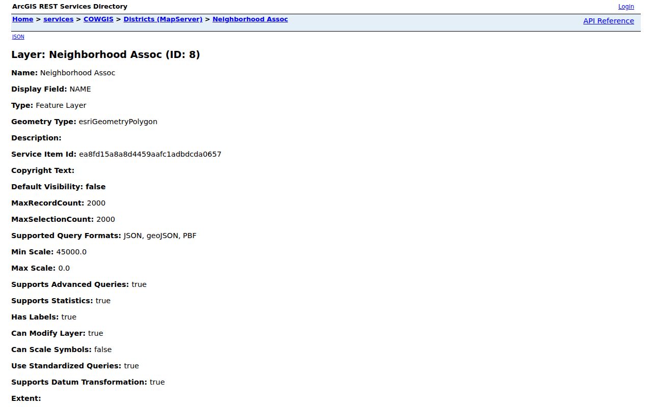
The image shows the official source behind association geography. Compare it with the City's public contact table before relying on a meeting place or representative, since those details can change faster than a boundary.
City Association Table
Names, boundaries, meetings, and public contacts. It is a contact route, not a citywide resident roll.
City GIS Districts
Neighborhood, HOA, council, ZIP, annexation, and historic layers for map comparison.
County GIS Help
Search guidance and map-accuracy cautions for parcel and flood layers.
Wichita Blocks Cross Many Boundaries
A single block can sit inside several maps at once. The same parcels may share a ZIP label yet fall on opposite sides of an association, council, historic, flood, or annexation boundary. Wichita neighborhood names also carry different kinds of meaning. College Hill, Delano, Riverside, Crown Heights, Linwood, and Historic Midtown can describe civic identity and historical context, but a map label does not create a private membership list.
Annexation history explains some odd results. A Wichita mailing address can outlast a change in municipal or planning status, while an association boundary may follow roads or parcel lines that postal geography ignores. Toggle one layer at a time and note the date of the source. The parcel's legal description is the stable land key; ZIP codes and neighborhood labels are useful context, not substitutes for that key.
Historic aerials deepen a block study without exposing a resident. Wichita GIS offers imagery from 1938, 1950, 1968, 1974, 1983, 1997, and many later years through current coverage. Aerial comparison can show when homes, alleys, additions, or large sites changed. Pair the image year with permits or deeds before assigning a cause.
Wichita Neighbors and Voter Data
Kansas VoterView asks for first name, last name, and date of birth. It can confirm an individual's registration and address, party affiliation, polling place, mail-ballot status, and voting-history information where available. It is not designed to browse a block. A requester seeking voter-file fields must use the Kansas or Sedgwick County order process, pay applicable fees, and certify a permitted use under Kansas law.
Voter data omits people who are unregistered and does not disclose ballot choices. Protected records create further gaps. The Kansas Safe at Home program provides qualifying victims with a substitute address and mail forwarding. A missing result must never be treated as evidence that a person does not live nearby.
Note: The current election page lists 3639 N Comotara St; an older data-order PDF lists another address, so verify before mailing.
Official Wichita Records Compared
Commercial neighbor tools merge purchased and scraped data, often without showing when an address changed. Official sources are narrower but make the custodian and record purpose clearer. Neither category should be mistaken for a live household census.
| Source type | Strength | Limit |
|---|---|---|
| Official parcel and tax records | Named custodian, parcel key, legal description | Owners and mail destinations, not all occupants |
| Official district and association maps | Current civic boundaries and public contacts | No private membership roster |
| Commercial compiled tools | May gather broad address leads | Age, source, accuracy, and correction path may be unclear |
For civic questions, use the official map and association contact. For parcel ownership, use the Appraiser and Register of Deeds. Ask a person directly when the real question is who currently lives next door.
Wichita Neighbor Record Fallbacks
A portal failure does not erase the public access channel. The Sedgwick County Appraiser maintains an office at 271 W 3rd St N, Suite 501, and the Register of Deeds provides free public computers at 100 N Broadway, Suite 105. For an existing City or County record that is not exposed online, make a focused Kansas Open Records Act request to the agency that keeps it. KORA does not require staff to create a new report or compile a custom block roster.
Describe the record, date range, address, parcel ID, and department as precisely as possible. Ask to inspect first when copying costs are unclear. County KORA guidance says departments respond within three business days or explain the delay and provide an estimate. The rule concerns a response, not a promise that every requested record is open or ready within three days.
Correction should also follow the source. Ask the Appraiser about a parcel field, GIS staff about a layer, Elections about voter data, or the association contact about a meeting listing. Do not merge a stale field from one system into a claim about a neighbor's current life.
Access also differs by channel. The public City REST layer may expose a field that the viewer pop-up omits, while an office property card may be more current than a cached map response. The Register of Deeds index points to recorded documents, and its free courthouse computers can reach material that a simple parcel pop-up cannot explain. Use phone or counter help when an identifier changes between systems.
Privacy Limits for Wichita Neighbors
Public property data does not provide a complete list of renters or household members. Utility customer records, delivery records, unpublished association membership, and private congregation rosters are not general public block directories. Kansas voter access and KORA also carry legal limits; KORA opens existing qualifying records but does not force an agency to build a custom neighbor list.
Maps can be wrong or out of date. Association contacts change. Parcel lines are not surveys. When a record seems inconsistent, ask the agency that created it about its correction process rather than confronting the person named.
Personal safety does not require publishing a block roster. A resident can learn the association meeting schedule, council district, nearby parcel ownership, and official reporting channels without collecting private facts about each household. Public notices and civic contacts are often enough for a street concern. For an urgent threat, contact emergency services; for a record error or routine neighborhood issue, use the responsible office or association contact.
Lawful use. Use Wichita neighbor records for civic curiosity, community contact, or personal safety awareness. Never watch, intimidate, stalk, or harass another person.