
Walk a Wichita Street Directory
A Wichita street directory search is strongest when it starts with land, not a guessed name. The Sedgwick County Mobile Land Records viewer accepts an address, parcel ID, street intersection, or map navigation. It shows where one parcel ends and the next begins. The county property application can then supply the assessed owner, mailing address, situs address, values, and tax details. A situs address is the parcel's physical location; a mailing address is where tax notices go. They may differ.
Ownership does not prove occupancy. A deed names parties to a transfer, a voter record concerns one registrant, and a printed directory records what its publisher gathered. Follow the chain in a fixed order so those distinct facts do not blur together.
- Enter the exact Wichita address or an address range in the county property search. Save the parcel ID and legal description.
- Open Mobile Land Records, select the parcel, then click adjacent lots in street order. Compare the situs and owner-mailing fields.
- Use the current owner's name and the legal description in the Register of Deeds index. Confirm the instrument describes the same land.
- Use Kansas VoterView only to confirm a known person's registration. It is not a public street roster.
- For an earlier occupant, consult Wichita city directories by address, then verify the name in the alphabetical section.
This route turns an address into a set of sources that can be checked independently. For a whole named road, repeat it parcel by parcel rather than assuming one query returns a complete block.
Search Wichita Parcels by Address
The Sedgwick County property application supports parcel identifiers, a specific address, and an address range. That range mode is especially useful for a street directory. Its public explanation does not promise an anonymous owner-name box, though the county's paid subscriber network offers name and address cross-references. Use only the controls the live screen displays.
| Search control | Input | How it helps by street | Limit |
|---|---|---|---|
| Parcel identifier | County PIN | Keeps the same parcel tied together when an address changes | The public page does not state an exact mask |
| Specific address | Situs address | Finds one Wichita lot and its property record | Test directional and suffix variants |
| Address range | Street segment | Returns parcels along part of a road | Results still need parcel-by-parcel review |
| Result selection | Parcel link | Opens appraisal, specials, taxes, and payment history | Fields update on different schedules |
| Terms acceptance | Required button | Enters the public property system | Search data is informational |
The county's real-property resources explain appraisal and property-record options. This captured screen shows the official route readers reach before using the county tools.
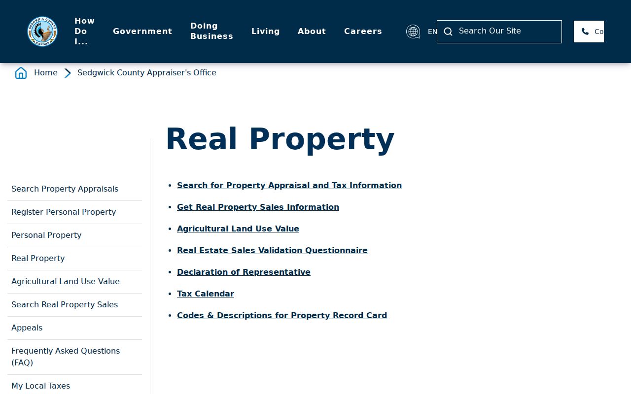
Return to the parcel card after each map selection. The PIN and legal description are the safest bridge to deeds and transfer books.
Map Wichita Streets and Layers
County GIS keeps property lines and measurements visible by default. Search an intersection when a house number is uncertain, or pan along the road and click parcels in sequence. The county says mapped boundaries are mainly for tax use and are generally accurate within about three feet, but a licensed surveyor controls an actual boundary dispute.
The City of Wichita map directory adds zoning, annexation, historic, HOA, neighborhood-association, ZIP, and aerial layers. Those overlays explain why two lots on the same road can have different civic or postal labels. They do not identify residents. This view of Mobile Land Records shows the map surface used to inspect parcels along a street.

Once a parcel is selected, record only the fields needed for the search. The City parcel service can expose PIN, AIN, property address, owner mailing address, legal description, sale year, value, year built, and lot size.
Note: A GIS line or map click is a research aid, not a survey, certified appraisal card, or recorded deed.
Wichita Street Records Compared
Several Sedgwick County and Wichita sources accept an address, parcel, or map point. Each has a narrow scope. Combining them produces a useful street directory without pretending that assessed owners, applicants, voters, and occupants are the same group.
| Address source | Official keeper | Street evidence | Access route |
|---|---|---|---|
| Property and tax record | Sedgwick County Appraiser, Clerk, and Treasurer | Parcel ID, assessed owner, situs and mailing addresses, values, tax history | Public property application; office and subscriber options |
| Parcel map | County and City GIS | Lot shapes, adjacent parcels, identifiers, district and ZIP layers | Free interactive viewers and public City layer |
| Recorded instruments | Sedgwick County Register of Deeds | Grantor, grantee, document type, date, number, and legal description | Online index plus all records at the Ruffin Building |
| Transfer books | Sedgwick County Clerk | Tax-transfer trail and historical transfer entries | Registered portal; books for pre-1992 work |
| Permits and planning | MABCD | Applicant, address, parcel, case, status, and hearing action | Public development-record lookup |
| Historical directories | Wichita Public Library and MHGS | Printed occupant or householder tied to an old address | Library shelves, scans, indexes, and research rooms |
Use the parcel identifier to move between GIS, appraisal, permits, and legal records. Use the exact printed street string for old directories. A permit applicant may be a contractor, and a tax-mail recipient may live elsewhere, so label each result by source.
Follow Wichita Deeds Along Streets
The Sedgwick County Online Land Record Search gives the legal transfer chain behind a Wichita street directory. The public page says deeds are indexed online from 1945 forward and other instruments from 1969 forward. All records remain available in person at the Ruffin Building. A newer county budget says digitization reached 1935, so verify the live search rather than promise that older boundary.
Start with the parcel legal description. Search the current owner as grantee, open the purchase deed, and note its document number, date, parties, and land description. The seller is the grantor. Search that seller as grantee in an earlier period, then repeat. The instructions recommend LAST FIRST MI name order and support deed, platted-parcel, and section-township-range tabs. Mortgage releases use distinct codes, including MISC.RMTG and MISC.SMTG.
The County Clerk transfer-record portal adds a tax-transfer check and warns that pre-1992 research belongs in historical books. Its registration screen, shown below, is a separate route from the recorded deed image.
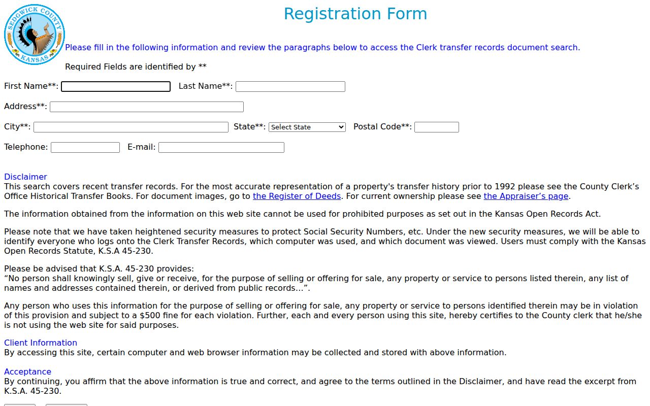
Match the legal description at every step. The street address may change, while the lot, block, subdivision, or section description remains stable.
Decode Wichita Street Numbers
Wichita uses Main Street as the east-west numbering baseline. Numbers rise by 100 per block, with roughly one number for each 20 feet. Odd numbers normally sit on the south side and even numbers on the north, subject to recorded exceptions. This local pattern helps place an incomplete address before opening the map.
Old labels still cause trouble. A directory may use a shortened street type, an old directional form, or a name that no longer matches the current GIS string. Honorary street signs are not official replacements. Annexation also changes municipal context without rewriting every postal label. Search the original form first, then compare it with the current parcel and legal description.
- Parcel
- A mapped unit of land identified by a county key.
- Situs address
- The physical address of the property, distinct from the owner's tax mailing address.
- Plat
- A recorded map that divides land into additions, blocks, and lots.
- Criss-cross directory
- A printed directory arranged by street and house number instead of only by surname.
Note: Preserve the old printed address in your notes before converting it to a modern Wichita street label.
Wichita Streets Cross ZIP Lines
Postal geography and city geography do not line up cleanly. The county map shows Wichita-area ZIPs that also carry Park City, Bel Aire, or McConnell AFB context. Examples include 67204, 67219, 67220, 67221, and 67226. A ZIP is a delivery tool, not proof that a parcel lies inside Wichita city limits.
Toggle the ZIP and annexation layers separately. Then confirm the full delivery address through USPS and the physical parcel through GIS. The property card's Prop_zip, the owner mailing ZIP, and a directory's old address can all differ for sound reasons. The Wichita ZIP code lookup handles those postal groupings in detail; street work should keep its focus on the parcel and road.
Historic Wichita Address Books
When a current map reaches its limit, a reverse or street section can connect an older address to a printed occupant. The Wichita runs indexed by the Midwest Historical and Genealogical Society begin in the nineteenth century. Search the address section first, write down the name exactly, then turn to the alphabetical entry for a spouse notation, occupation, owner or renter mark, or another address clue.
These volumes are snapshots, not complete rolls. Publication gaps, OCR mistakes, changed street numbers, boarding arrangements, and omitted residents can break the sequence. The full collection and reading method belong in the Wichita city directory collections. Here, the volume serves one purpose: moving from a street address to a historically printed name.
Limits of Wichita Address Records
No official Wichita street directory lists every person in every home. Parcel records center on land and assessed ownership. VoterView asks for a known person's name and date of birth, not a street. A paid voter file has statutory certification and protected-address limits. Utility customers, delivery data, minors, unregistered adults, and Kansas Safe at Home participants do not become a public block roster.
A deed, tax card, voter confirmation, permit, and historical directory entry each answer a different question. Do not infer a household from one owner name. When a record appears stale, ask the custodian which field controls and when it was updated. Kansas Open Records Act requests can seek an existing open record, but an agency need not create a new street list or disclose closed data.
Lawful use. Use Wichita address records only for lawful personal research, civic questions, family history, or fraud prevention. Never use them to stalk, harass, intimidate, or harm anyone.
Commercial neighbor tools may blend public and purchased files, but they can mis-match names and old addresses. Official parcel, deed, directory, and association sources make their scope visible and provide a custodian who can explain the record.