
Wichita Previous Resident Sources
Different eras leave different trails. A deed names parties to a legal transfer, while a directory or census is more likely to name people who occupied the address. Wichita previous-resident research therefore works best as an era map. Start with the newest reliable parcel identity, keep the legal description beside the street address, and move to the source that covers the year in question.
| Wichita source | Local date range | Custodian | Useful evidence |
|---|---|---|---|
| Deed index | Deeds 1945-present; other instruments 1969-present online | Register of Deeds | Transfers, recorded parties, dates, plats, mortgages, and liens |
| Historical transfers | Especially useful before 1992 | County Clerk | Tax-transfer sequence for an ownership cross-check |
| City directories | Located runs from 1877 through 1904-05, plus other holdings | WPL and MHGS | Names, addresses, spouses, occupations, and household-role clues |
| Assessment rolls | 1876-1898, with gaps or damage | County genealogy microfilm | Adult names, ages, and tax or property context |
| Census schedules | Released after 72 years | Federal archives and local repositories | Household members, ages, relationships, and location |
| Maps, permits, aerials | Varies; City aerials begin in 1938 | WPL, KU Luna, City GIS, MABCD | Building and lot change, not occupancy proof |
For a recent question, the county parcel record and deed index are the sound opening pair. For a nineteenth-century address, assessment rolls, early directories, newspapers, and archive microfilm matter more. Owners are only one class of previous residents. A non-owner occupant may appear in a directory or census but nowhere in the deed chain.
Wichita Deed Dates Disagree
The Register of Deeds access page says deeds are indexed online from 1945 and other instruments from 1969. A county budget narrative says digitization reached 1935 and continues. These claims may describe different material or stages of work. Check the live index, then call the office or use the free public computers at the Ruffin Building when a needed year is absent.
The County Clerk transfer system adds another boundary. It describes recent transfers online and warns that historical books are more accurate before 1992. Those books can confirm a tax-transfer sequence, but the recorded deed remains the legal instrument. Conflicting cutoffs call for another access channel, not a claim that the trail is lost.
Note: County offices generally operate Monday through Friday, 8 a.m. to 5 p.m.; verify hours before traveling.
Trace Sedgwick County Past Owners
A backward deed search starts with what is known now. The Sedgwick County property application can supply the parcel identifier, current assessed owner, situs address, mailing address, and legal description. Situs means the physical property location. The mailing line may lead elsewhere, so it cannot prove that the owner lived in the Wichita house.
- Copy the parcel ID and legal description from the Appraiser record. Keep the street address too.
- Find the current owner's purchase deed. Record its number, date, grantee, grantor, and land description.
- Search the seller as an earlier grantee. The instructions use LAST FIRST MI and identify GTOR and GTEE roles.
- Repeat the buyer-to-seller handoff. Confirm each link by legal description, not by name alone.
- When online years stop, request older deed books, microfilm, or a counter search. Cross-check Clerk transfer books.
- Grantor / grantee
- The grantor transfers an interest; the grantee receives it.
- Chain of title
- The linked sequence of recorded transfers for the same land.
- Legal description
- The lot, block, subdivision, or survey wording that follows land when its street label changes.
The county search also offers document-number, platted-parcel, and section-township-range routes. A mortgage or lien can explain a record event without showing a new resident. Read the document type first.
The Register of Deeds deed guidance shows the language behind the index:
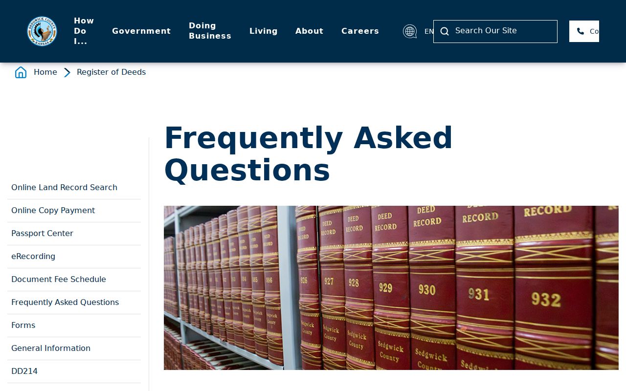
The captured page is a reminder that the index finds recorded instruments; it does not settle title or identify every occupant.
Match Old Wichita Addresses
Street strings are less stable than land descriptions. Wichita numbers east and west from Main Street and generally rises by 100 per block. Old directories may shorten street types, omit directions, or preserve a former name. Annexation and honorary signs add more traps. An honorary name does not replace the legal street name.
When a directory address will not match the current map, search its printed form first. Then compare the legal description, plats, Sanborn fire-insurance sheets, annexation maps, and aerial photographs. Wichita's GIS basemap service lists aerial years from 1938 through current coverage. Images can show when a building, addition, or street pattern changed. They cannot name who lived there.
Address key. Use parcel ID and legal description to bridge a faded entry and today's map.
Wichita's Pre-Digital Resident Trail
Sedgwick County's older trail has unusual depth. Assessment rolls survive on microfilm for 1876 through 1898, although some township books are missing or damaged. Wichita death certificates cover 1887 through 1910 before statewide filing. County coroner books span 1910 through 1954 with two missing volumes, and a Works Progress Administration project made alphabetized cards in 1936. No single absence proves that a person moved.
The county genealogy inventory helps identify which office or microfilm set holds the year. Kansas Historical Society microfilm can move through participating Kansas libraries. For a death endpoint, check the card or book, then seek a newspaper notice, cemetery entry, probate file, or official certificate when legally available.
Wichita House-History Method
The Midwest Historical and Genealogical Society's “Who's Been Living in My House?” method connects the sources in a practical order: current Appraiser owner, recorded transfers, directories and census, then maps, newspapers, surveys, and special collections. It points toward Wichita Public Library, Wichita State University, Kansas Historical Society, Historic Midtown material, and Morris Realty papers for College Hill and Sleepy Hollow. The method does not promise a ready-made file for each address.
The free Property Fraud Alert is another current ownership tool:
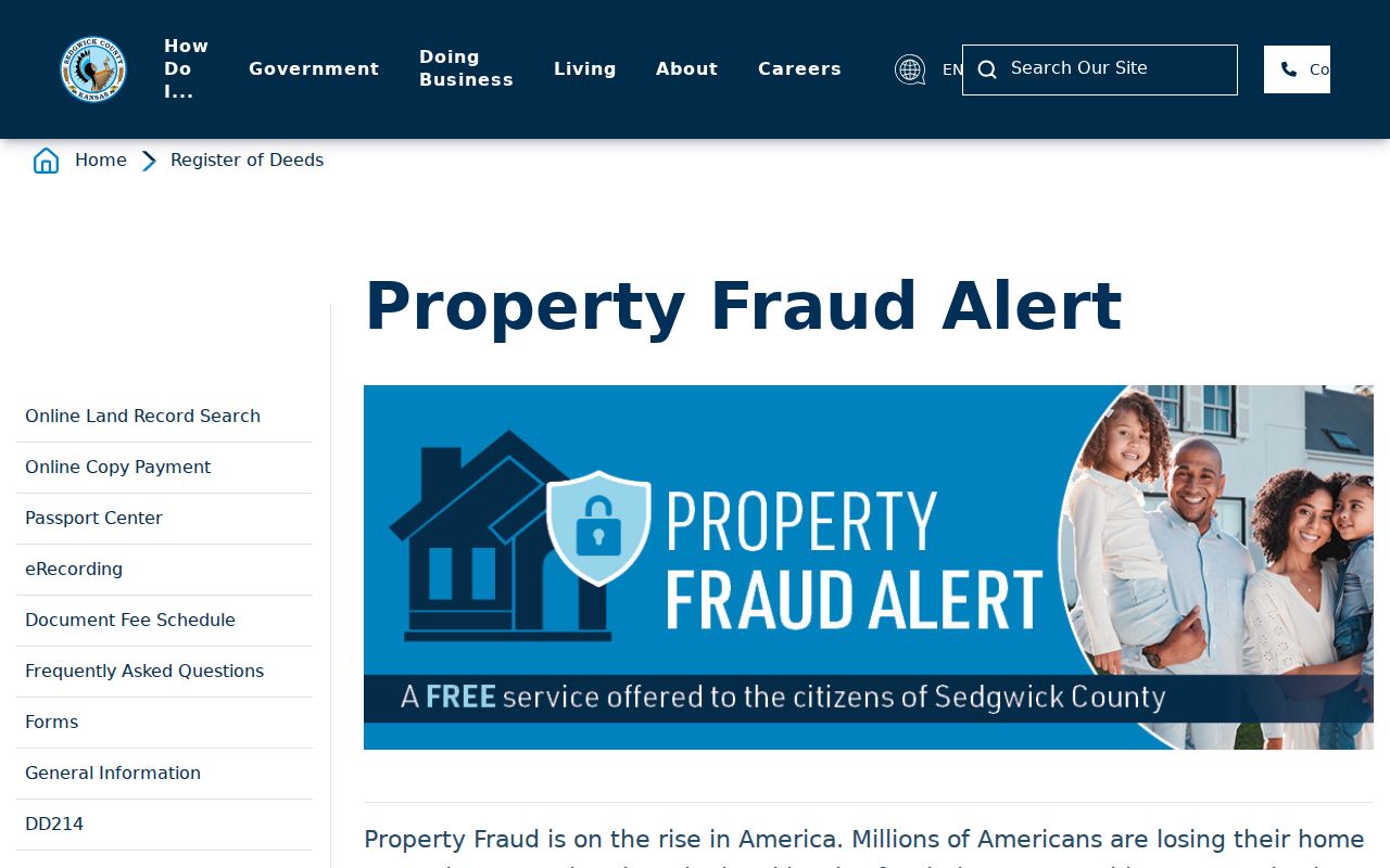
The alert watches for new recorded documents matching a subscribed name. It is useful after a deed-chain search, but an alert is not a fraud finding and does not reconstruct past occupancy.
Wichita Permits Add Building Context
Metropolitan Area Building and Construction Department records can add a construction date, alteration, applicant, parcel, or application number to an address timeline. Search both the address and parcel identifier because an older street form may not match the current text. A permit applicant can be an owner, contractor, architect, or other project party. The name is evidence about the work, not automatic proof that the person was one of the previous residents.
Sanborn maps serve a different role. Wichita Public Library atlases and microfilm, along with the KU Luna Wichita collection, can show a building footprint, use, materials, outbuildings, and lot arrangement for the year of a sheet. Compare that picture with a deed and a directory entry from about the same time. If the map shows a vacant lot before a later structure appears, the gap may explain why an older address search produces no household.
Utilities do not fill the gap. Customer lists are not public, and no complete historical MABCD cutoff was located. Preserve the permit application number, map year, directory year, and deed number so each statement remains tied to its source.
Where Wichita Resident Research Continues
When the web trail ends, local research rooms keep the work moving. Wichita Public Library's Burns Historical Research Pavilion is on the second floor of the Advanced Learning Library at 711 W 2nd. Its two microfilm scanners can save or email images without charge; prints cost $0.25. The library also offers limited mail research at $5 per half hour, capped at one hour. Ask a narrow address-and-year question rather than requesting a full house history.
The Midwest Historical and Genealogical Society library at 1203 N Main holds local indexes, directories, yearbooks, cemetery material, newspapers, and research equipment. Its listed hours are Tuesday and Saturday, 10 a.m. to 4 p.m.; call 316-264-3611 before visiting. The Kansas State Archives research room adds county microfilm and Wichita records. First-time visitors need photo identification, and selected microfilm may be borrowed through a Kansas library.
Plan an offline search around one missing link. Bring the current legal description, the last known owner or occupant, the target year range, and citations for the records already checked. Staff can then point to a deed book, assessment reel, directory volume, newspaper run, or archive collection without repeating the entire search. If a copy is needed for a formal estate or title matter, ask the legal custodian what form of certification is available; a saved web image is only a research copy.
Wichita Past Household Links
Printed directories bridge owners and occupants. Entries can show an address, spouse or widow notation, occupation, and sometimes an owner or renter mark. Known runs include 1877, 1878, 1881, 1883, 1885, 1886-1892, 1894, 1902, and 1904-05. Coverage does not mean each person appeared. Collection details belong on the Wichita city directory page; for an address trail, extract only the names and years needed.
Use this flow: directory address and year → nearby public census year → household members and relationships → next directory year → later obituary, cemetery, or probate clue. The census opens after 72 years. Directories between census years can show short moves, while newspapers may announce a move, marriage, death, or civic tie.
Wichita Public Library holds directories, newspapers, maps, atlases, Sanborn maps, census microfilm, and local books at the Burns Historical Research Pavilion. MHGS adds obituary, probate, cemetery, naturalization, yearbook, land-owner, and directory indexes. Search initials, alternate spellings, spouse notation, and old street forms when past residents seem to vanish.
Obituaries and probate files often close the chain. An obituary can tie a former occupant to relatives, a later town, a church, or a cemetery. Probate can show heirs and land handled after death, but a court index is only a finding aid until the file is read. Cemetery lists and newspaper notices can confirm dates that a printed directory rounded or missed. Keep uncertain identities separate when initials or common surnames produce more than one plausible Wichita household.
Lawful use. Research past residents for house history, family history, or personal curiosity. Never use an address trail to track, threaten, or harass a living person.