
Wichita ZIP Directory Coverage
The core Wichita delivery family runs from 67201 through 67278, but not every number in that span is a normal street-delivery zone. The official USPS L007 list groups Wichita codes for mail labeling, while the Sedgwick County map adds place labels and boundary context. That county map is dated May 1, 2026, so it is the better local picture for comparing Wichita with Park City, Bel Aire, and McConnell Air Force Base. USPS remains the authority for the correct mailing label.
| ZIP Code | Areas Covered | Post Office | Notes |
|---|---|---|---|
| 67201 | Central Wichita postal family | Confirm with USPS | Listed as Wichita in USPS L007 |
| 67202-67203 | Central and near-west Wichita | Confirm with USPS | Parcel and postal labels may differ |
| 67204 | North Wichita and nearby boundary area | Confirm with USPS | County map exposes city/postal mismatch |
| 67205-67209 | West, northwest and central delivery areas | Confirm with USPS | Use a full address to separate neighborhoods |
| 67210 | Southeast Wichita and McConnell area | Confirm with USPS | Military and city geography overlap |
| 67211-67218 | South, east and central Wichita delivery areas | Confirm with USPS | ZIP is broader than a neighborhood |
| 67219-67221 | North/east Wichita, Bel Aire and McConnell contexts | Confirm with USPS | Municipal identity cannot be inferred from ZIP |
| 67223-67228 | Outer west, east and northeast delivery areas | Confirm with USPS | Some codes cross or approach city boundaries |
| 67230, 67232, 67235 | East and west fringe delivery areas | Confirm with USPS | Check parcel jurisdiction separately |
| 67260, 67275-67278 | Special or limited Wichita postal uses | Confirm with USPS | Do not assume ordinary street delivery |
A ZIP code is a routing tool, not a legal boundary. Some numbers are used for post-office boxes, large organizations, campuses, or other limited mail functions. The research did not verify a current public station name for every Wichita code, so the table does not invent one. Use the USPS address tool or post-office-by-ZIP data for the live delivery answer, then use local GIS to answer which city or district contains the parcel.
Wichita ZIP Map Clues
The Sedgwick County ZIP map labels Wichita beside Park City, Bel Aire, Haysville, Derby, and McConnell AFB. It makes an important quirk visible: 67204, 67219, 67220, 67221, and 67226 do not behave like neat Wichita-only shapes. A mailing city on an envelope can therefore differ from the municipality that supplies local services or keeps a city record.
Read the map as a broad locator. Its colored polygons help place a ZIP, but parcel boundaries and street-level jurisdiction belong in the live GIS viewers. County Mobile Land Records accepts an address, parcel ID, or street intersection. Wichita GIS adds ZIP, annexation, zoning, historic district, HOA, neighborhood-association, and aerial layers. Those layers explain a record's geography without turning a postal area into a resident roster.
Boundary check. Treat a Wichita mailing label as postal evidence only. Confirm city jurisdiction with the parcel and annexation layers.
Wichita ZIP Families Compared
The USPS L007 labeling list places Wichita codes into delivery families. That is useful when a file contains only a ZIP and needs a likely mailing label. It does not say which neighborhood a person occupies. College Hill, Delano, Riverside, Crown Heights, Linwood, Fairmount, and other Wichita names come from local history, planning, and association geography, not from USPS boundaries.
| Geographic label | Best authority | What it answers |
|---|---|---|
| Mailing ZIP | USPS address tools and L007 | How mail should be routed and labeled |
| Parcel location | Sedgwick County Mobile Land Records | Where a taxed parcel sits and its parcel key |
| City limit | Wichita GIS annexation and boundary layers | Whether land is within Wichita jurisdiction |
| Neighborhood | City association and planning layers | Local civic geography, not postal delivery |
This comparison matters for record requests. A Wichita postal label does not prove that Wichita City Hall holds the record. County parcel, election, deed, and district-court sources often remain the proper custodians throughout Sedgwick County.
Search Wichita Residents by ZIP
A ZIP code directory narrows geography, but official local portals rarely offer a public list of all residents in one ZIP. The county property application takes a specific address, address range, or parcel identifier. Subscriber real-property access adds owner-name and address cross-reference modes. City and county GIS can display ZIP and parcel layers. VoterView confirms one supplied voter identity; broader voter extracts require a formal order and signed certification.
- Verify the complete mailing address through USPS before treating the ZIP as correct.
- Open Wichita GIS and compare the ZIP polygon with city, annexation, and neighborhood layers.
- Use Sedgwick County property search with the street address or parcel ID to identify the assessed parcel and mailing field.
- Confirm one registered voter through VoterView only when first name, last name, and birth date are known.
- For an authorized voter-data need, ask the election office which available extract and geographic fields match the request.
Once the ZIP narrows the area to a known road, the Wichita street directory explains the address-range and adjacent-parcel workflow. That route is more precise than trying to infer a household from a broad postal code.
Wichita ZIP Search Fields
No inspected Sedgwick public property form promised a one-click ZIP-wide resident export. Its documented public keys are more exact. Use those fields after a ZIP has narrowed the general area, and keep postal and parcel addresses separate.
| Official tool | Search field | Use in a ZIP lookup |
|---|---|---|
| Property application | Parcel identifier | Opens one known tax parcel. |
| Property application | Specific address | Matches a street number and name after postal verification. |
| Property application | Address range | Reviews several numbered properties on one street. |
| Mobile Land Records | Address or parcel ID | Maps the parcel within the ZIP area. |
| Mobile Land Records | Street intersection | Centers the map when a parcel number is unknown. |
| VoterView | First name, last name, date of birth | Confirms one supplied registration, not all people in a ZIP. |
County records distinguish the situs address, the physical parcel location, from the owner's mailing address. Either can carry a different ZIP. A tax mailing line may belong to an owner outside Wichita, while the parcel itself remains within the city.
Note: Keep the parcel ID with the result because it is more stable than a mailing label when addresses or boundaries change.
Verify Wichita ZIP Labels
The USPS post-offices-by-ZIP resource helps connect postal codes with offices and historical postmaster data, but USPS warns that its historical information has limits. For a current mailing label, use the live USPS address lookup with the full street, city, and state. A directory or old record may preserve an earlier postal form.
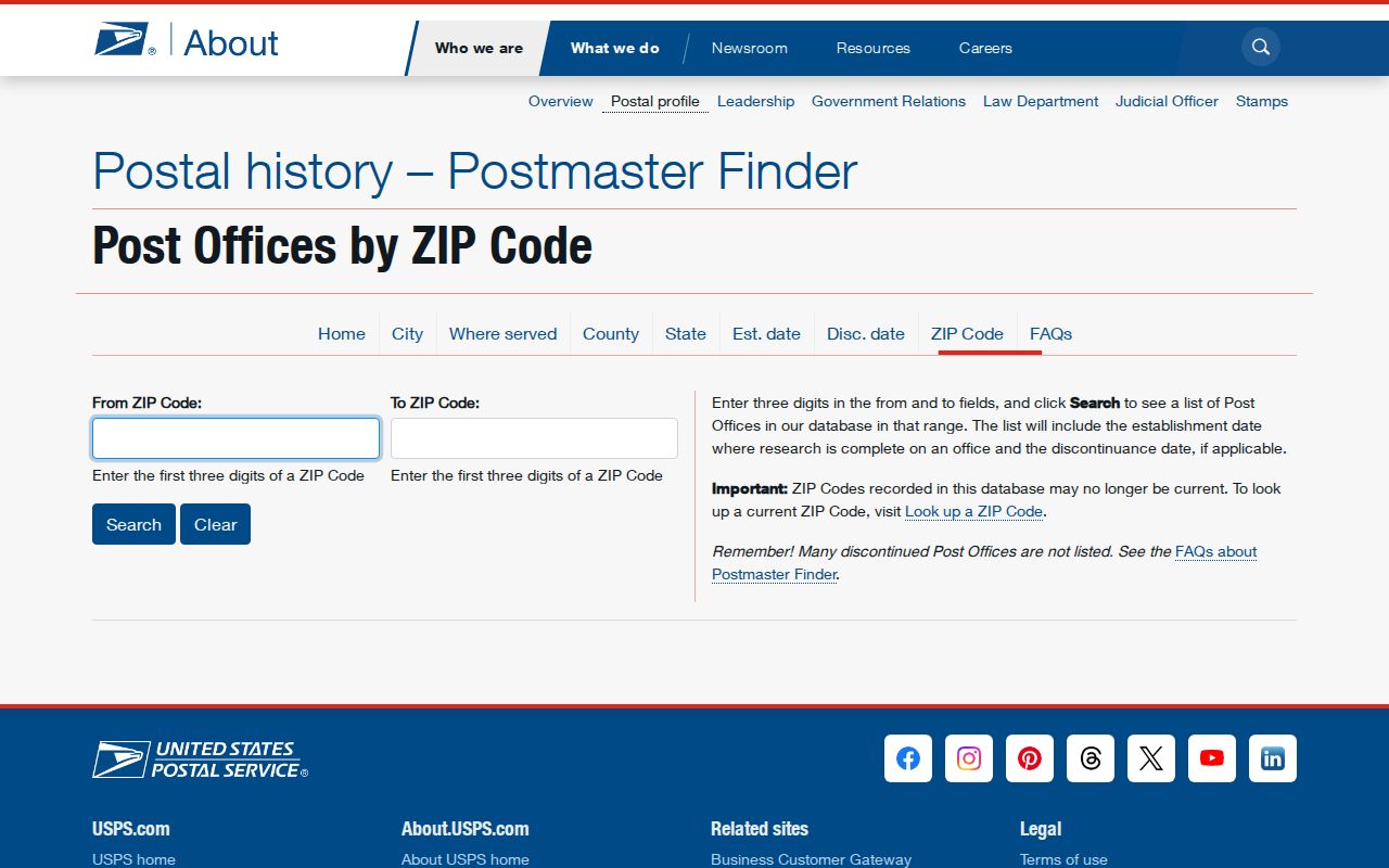
The USPS page is a useful source check, while Sedgwick County and Wichita GIS supply the local parcel and boundary context that postal history does not.
Old labels deserve care. Annexation can change municipal jurisdiction without changing a delivery code, and a directory may abbreviate the street or omit ZIP digits. Preserve the printed form, verify the modern postal address, then compare the legal parcel description if the street string fails.
Wichita ZIP Voter Data
Kansas VoterView is designed for one person's registration check. It asks for first name, last name, and date of birth, and may return address confirmation, party association, polling place, mail-ballot status, and voting activity. It does not reveal ballot choices and is not a public ZIP browser.
The Kansas statewide voter-file form offers entire-state, district, county, party, advance-voting, and inactive-voter choices at listed fees. The Sedgwick County form offers a full county file and subdivision or party selections. The research did not document a simple public ZIP checkbox on either order form. Ask the Sedgwick County Election Office whether an existing file contains a usable ZIP field before paying or describing the extract.
Every request follows K.S.A. 25-2309 and K.S.A. 25-2320a. Sensitive ID numbers are removed, use certifications apply, and some voter addresses may be concealed for privacy or safety. Safe at Home participants use substitute addresses. A missing name cannot be read as proof that someone does not live in a Wichita ZIP.
Wichita ZIPs and City Limits
The county map shows why postal identity and local jurisdiction must be checked separately. Parts of the 67204, 67219, 67220, 67221, and 67226 shapes approach or cross the Wichita, Park City, Bel Aire, and McConnell contexts. A resident may use “Wichita” in a mailing line while the parcel sits outside Wichita city limits. The reverse can also occur when delivery conventions favor another postal label.
For taxes and ownership, search the Sedgwick County parcel. For a city permit, code case, or association boundary, verify Wichita jurisdiction in City GIS. For voting, use the county election system and the actual registration or district fields. For mail, trust USPS. This division of labor prevents the ZIP code directory from promising a jurisdiction that the postal number does not establish.
- ZIP and ZIP+4
- The five-digit zone routes a broad delivery area; the added four digits narrow a block, building, box group, or delivery segment.
- PO-box ZIP
- A code reserved mainly or wholly for boxes at a postal facility rather than ordinary street delivery.
- Unique ZIP
- A code assigned to one large organization or institution because of its mail volume or role.
- Carrier route
- The smaller delivery path followed by a postal carrier within one or more ZIP areas.
A Wichita ZIP code directory is most reliable when it keeps these labels distinct. A five-digit match is a start. The full address, parcel, and custodian determine what the record truly says.